The Big Bear Valley offers some of the finest mountain bike trails in Southern California. With a wide range of trails for the newest to the most experienced hikers and bikers, the Big Bear Valley has much to offer for the biker or hiker. We here at Getboards have compiled a list of the trails we recommend for all skill levels.
Forgot Your bike? No problem, we rent them! Reserve Online Now! We rent Cruisers, and Electric Bicycles. All rentals come with FREE map, and helmets!
880 Summit Blvd.
Big Bear Lake, CA 92315
Beginner trails: These trails are for those who are just getting started with Hiking or are just getting their bearings biking. The trails themselves have pavement or established trail paths, gentle inclines, and/or shorter distances. Big Bear bike trails will give you a beautiful view without the hassle. Click here For rates and reservations
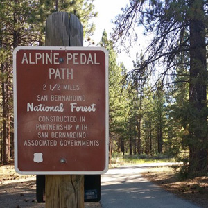
Alpine Pedal Path - 2.5 miles long
740 Stanfield Cutoff
Big Bear Lake, CA 92315
The Alpine Pedal Paths is an asphalt path that travels along the north shore of beautiful Big Bear Lake. Easily accessible for everyone, It starts at Stanfield Cutoff and ends at the Solar Observatory. This is the prime spot for those who wish to just take it easy.
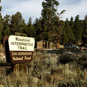
Woodland Trail - 1.5 mile loop
41948 Northshore Dr.
Big Bear Lake, CA 92315
An original and unique nature trail with a self guided tour featuring 20 posted stops. Pick up a pamphlet at the entrance and take the self-guided tour where you will learn about local botany, geology and the wildlife of the area. An adventure pass is required to park. You can pick them up in either of our locations or at the discovery center.
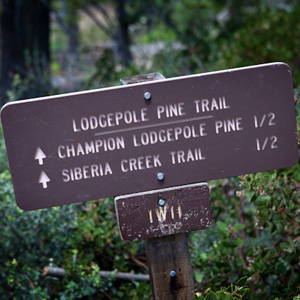
Champion Lodgepole Pine Trail - .6 mile round-trip
(1W11)
Angelus Oaks, CA 92305
While not the easiest of these to get to, The Lodgepole Pine Trail is well worth the trip. Located on the south side of the lake and this trail is a gentle walk down a path along a stream that ends up at the Champion Lodgepole Pine one of the largest known lodgepoles in the world.
To get to the trail head, begin by driving up the dirt road Mill Creek Road, Forest Road 2N10, for 4.5 miles then turn right on 2N11 and continue 1 mile to the trail head.
Moderate: These trails are for the more experienced. These trails feature limited to no pavement, harsher inclines, and longer distances than the beginner trails. These trails will give you a beautiful view.
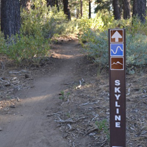
Skyline Trail - 12 Miles (Roundtrip)
(2N10)
Big Bear Lake, CA
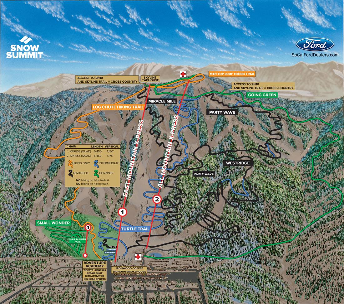
The Skyline Trail is a longer moderate trail. Clocking in at 15 miles up and back being recommended for beginner to intermediate. The Skyline Trail is located on the backside of Snow Summit, and begins where the US Forest service roads 2N10 and 2N06 meet. The trail follows the 2N10, and weaves from east to west.
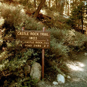
Castle Rock Trail - 2.4 miles round-trip
(1W03)
Big Bear Lake, CA 92315
The Castle Rock Trail Big Bear's most popular trails. The trail begins 1 mile east of Big Bear Dam on Highway 18. Located on the south side of Highway 18 is a small brown sign that marks the trail head with parking at the turnout along the highway. The elevation gain is 500 feet making it a steep climb for the first half miles. The well-marked trail levels out for another seventh of a mile. At the top is an impressive granite rock outcropping providing 360 degree view prefect for panoramic pictures.
Pine Knot Trail - 6 miles round-trip
(1E01)
Big Bear Lake, CA 92315
Beginning at the base of Aspen Glen Picnic Area located south of Mill Creek Road, The trail goes through stands of white fir and Jeffrey pine trees. The trail leads to Grand View Point which has an altitude of 7,784 feet. The avid hikers can make the round trip hike in three hours. Mountain bikers are able to take the Scenic Sky Chair to 2N10 west to 1E01 for a adrenaline filled single track experience.
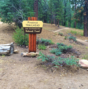
Grout Bay Trail - 13 miles
39028 Nortshore Dr.
Fawnskin, CA 92333
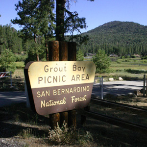
This trail starts with a short paved climb from the Fawnskin Fire Station up to 3N14. Continue 2.5 miles to Hanna Flat campground. From there, Grout Bay Trail starts at the back of the campsite and starts climbing. The trail climbs and descends, ending your ride back in to Fawnskin.
EXPERT: These trails are for those who are the most seasoned. No pavement, harder to get to, tougher inclines, and a view worth working for.
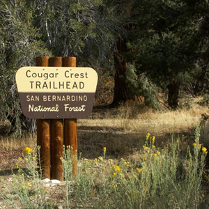
Cougar Crest Trail - 4-5.5 miles
Highway 18
Big Bear Lake, CA 92315
This trail starts a sixth or a mile west of the Discovery Center on Highway 38. Once on the trail you will travel through a variety of natural environments. The first mile is a gentle uphill climb, but after that mile you will realize you are gaining altitude. The Cougar Crest Trail ends at the juncture of the world-famous Pacific Crest Trail. An adventure pass is required to park at the trail head. Adventure pass can be purchased at either of our stores or at the discovery center.
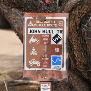
John Bull Loop Trail - 14.9 miles
(3N10)
Big Bear Lake, CA 92315
The hardest trail of all, the John Bull Loop Bike Trail will require stamina and navigation skills. You will Start at Van Dusen Canyon Rd. and ride up 3.5 miles to Holcomb Valley onto 3N16 turn left on to 3N07 then turn right on to 3N43 then turn left to "The John Bull Trail." It's about 3 miles of technical riding before you come 3N32 then turn right onto 3N16. Take another right at 3N09, which will lead you back to your starting point. Don't forget your map!
