Getting to Big Bear

Know before you go

Best Routes

Driving to Big Bear

Highway 330 → Highway 18 (Running Springs)
Shortest distance from LA/OC
Fastest and most direct for visitors from Los Angeles, Orange County, and points west. Can get very congested on peak weekends.

Highway 18 (Lucerne Valley)
High Desert access, least mountain driving
Quickest from Barstow, Las Vegas, and other High Desert areas. Easiest climb with the fewest mountain miles.

Highway 18 (Running Springs)
Alternative that avoids 330
Good west-side option when 330 is slow or controlled. Connects through Running Springs straight to Big Bear Lake.

Highway 38 (Redlands)
Scenic, fewer switchbacks
About 20 minutes longer, often less congested than 330/18. The “back way” through Redlands with gentler curves.

September 18, 2025: Highway 38 is closed indefinitely due to a mudslide; use SR-330 to SR-18 via Running Springs or Lucerne Valley as an alternate route.

Best ways to check for closures and chain controls

Call Caltrans at 1-800-427-7623, check current highway conditions by number (18, 38, 330) or use the local’s favorite – Caltrans QuickMap:

Winter Chain Requirements

What R1, R2, R3 means

R1: Chains required unless you have mud and snow tires.

R2: Chains required unless you have AWD or 4WD. All vehicles must carry chains. Most common.

R3: Chains required on all vehicles, no exceptions. Rare. Roads will usually close down.

Does my car have mud & snow tires?

Check your tires for the letters “M+S” embossed on the side.

Ready to book your rentals?

Gear up with the best skis and snowboards

Day-of Travel Checklist

Be Prepared

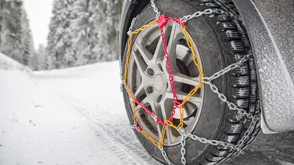
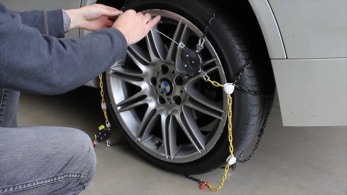
Reserve your ski & board rentals. Test-fit your chains before leaving. Bring gloves, and a small tarp to lay on.

Plan Ahead

Check QuickMap and Hwy 18/38/330 pages for live chain control and closures.

Fuel up

Top off fuel at the base, before heading up the mountain.

Travel Safe

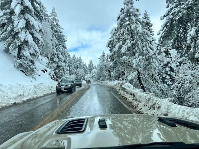
Start early. Parking and roads back up on powder days and holidays.

Directions to Getboards

Check out our Store Locations for directions.

Getting Around Once You’re Here

Check Mountain Transit for local bus alerts and winter operations. It is a good plan B when parking is tight.

FAQ

Which route is best in winter?

From LA/OC, 330 → 18 is shortest. 38 can be less traffic but slightly longer. From the High Desert, use 18 via Lucerne Valley.

Yes. R2 allows some AWD vehicles to proceed without putting on chains, but you must carry chains in the vehicle.

Use Caltrans QuickMap, the Highway Conditions page for 18/38/330, or call 1-800-427-7623.

Have Questions?

Our Experts Can Help

Have Questions?

Our Experts Can Help

FAST SHIPPING

Fast and reliable shipping

EASY RETURNS

30 days money back guarantee

1 YEAR WARRANTY

Manufacturer warranty on most products

SECURE CHECKOUT

All major payment methods accepted